City Analytics
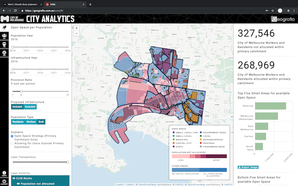
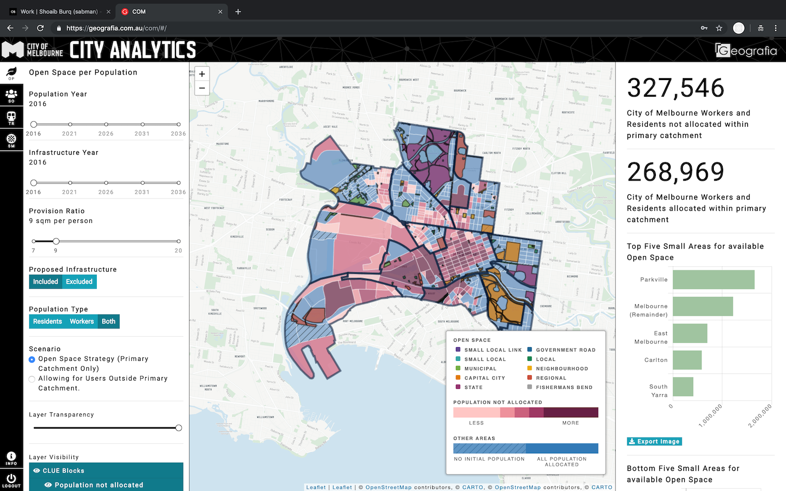
As part of Land Use and Infrastructure Plan (LUIP) Digital Model, Open Space Modelling and Social Infrastructure Modelling aims to verify whether the municipality’s existing and proposed open space access and social infrastructure can meet the current and forthcoming demand created by population growth out to 2036. Through comprehensive internal research and engagement, a baseline of public, community and private sector facilities data was injected into the model.
View website

