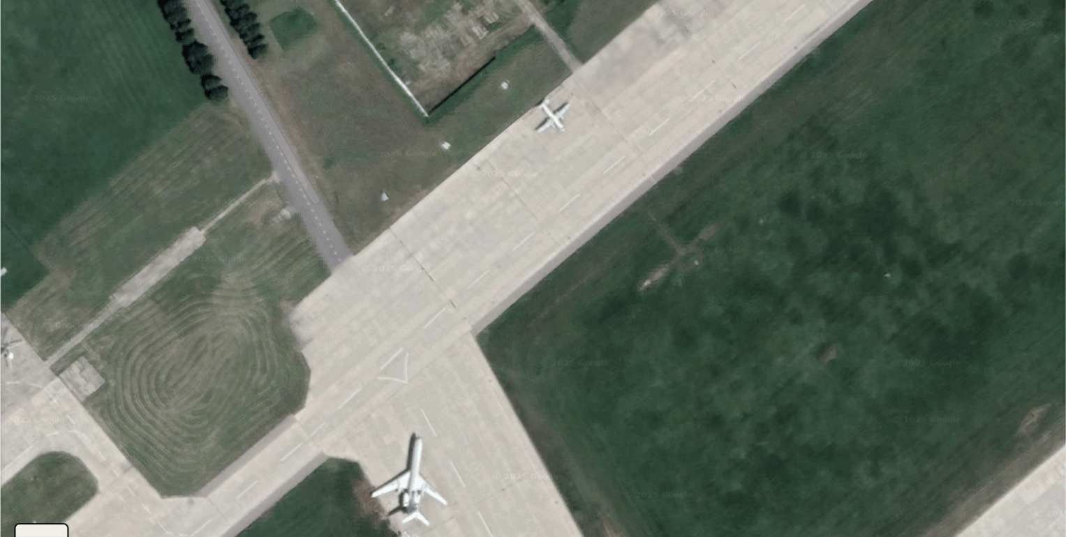
Work
Decision Labs Edge
On-device AI for field hardware: LiteRT time-series and perception weights that run on cameras, buoys, drones, and sensor nodes without a cloud round-trip.
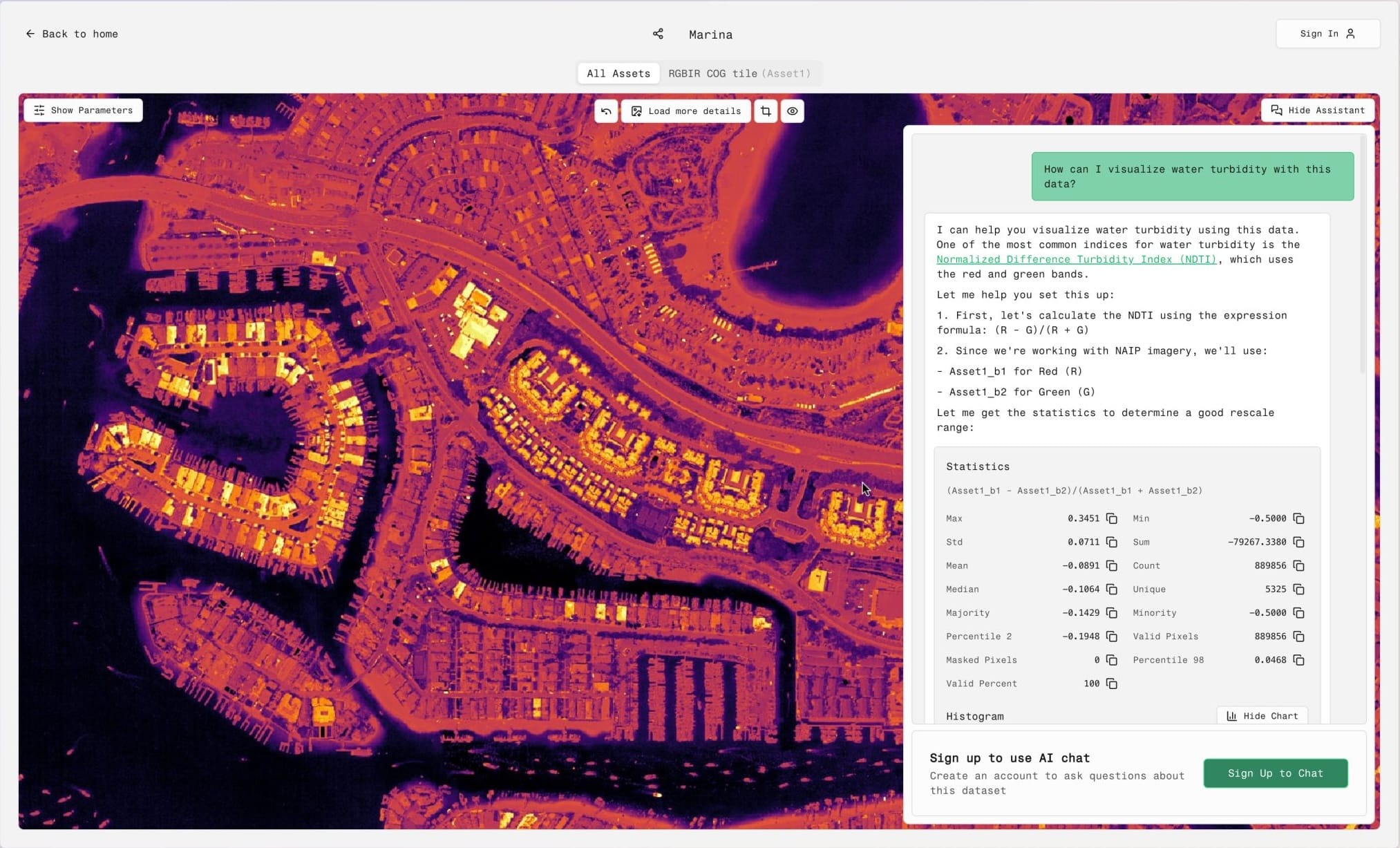
EarthGPT
EarthGPT enables policy analysts, journalists, and researchers to query satellite data and climate models using natural language, backed by ViTs, LLMs, and RAG pipelines.
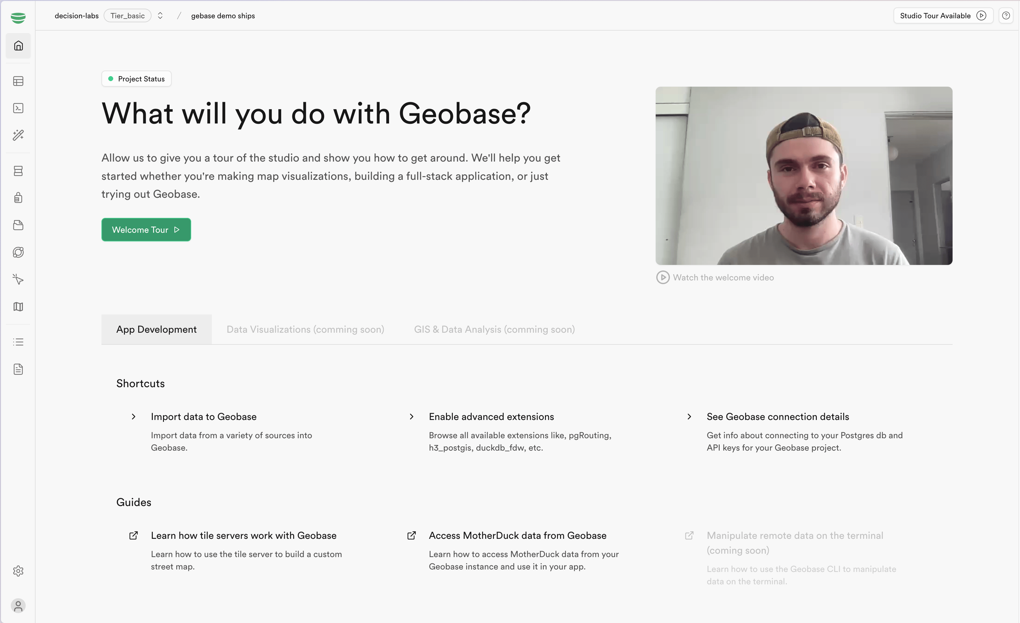
Geobase
Geobase is a Supabase fork with PostGIS, vector/raster tile servers, and STAC integration. It provides developers with cloud-native geospatial infrastructure to build scalable applications.
GeoAI.js
GeoAI.js brings HuggingFace transformers.js models to the browser and Node.js, enabling client-side geospatial AI. Includes live demos and docs for developers.

Verisat.ai
Verisat.ai detects fake or manipulated satellite imagery by analyzing noise patterns, FFT fingerprints, and patch-level inconsistencies. Built to support journalists and analysts.